
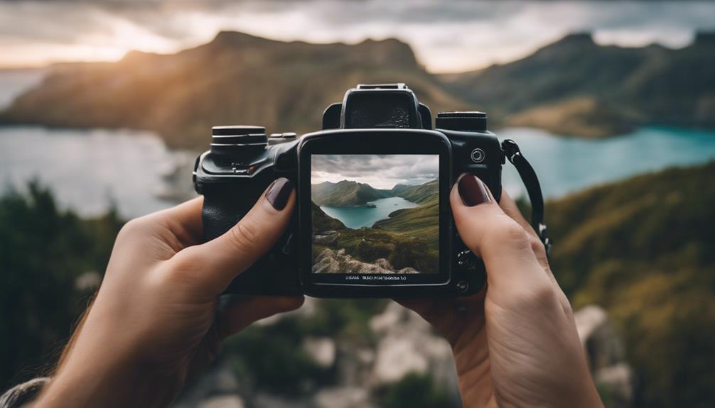
Image geo-tagging is a powerful tool that amplifies image organization and elevates online visibility through embedding precise geographical data. By enhancing local SEO strategies and aiding in efficient photo management, geotagging offers businesses a way to stand out in location-based searches. Utilizing tools such as GeoImgr can simplify the process, allowing for bulk upload and accurate geotagging without installation. Understanding the methods of adding geographical metadata and verifying geo-tags in various image formats further guarantees reliable location data for better organization and SEO optimization. Geo-tagging continues to be a valuable asset for optimizing online presence and engagement.
Key Takeaways
- Image geo-tagging enhances local SEO and improves photo management.
- Geotags embed GPS coordinates into images for location-based organization.
- Businesses benefit from geotagged images for better search engine indexing.
- Geo-tagging photos boosts online visibility in location-based searches.
- Tools like GeoImgr simplify adding geographical data to images for SEO optimization.
Importance of Image Geo-tagging
Enhancing local SEO and aiding in efficient photo management, image geo-tagging plays a significant role in optimizing businesses' online presence. By adding geotags to photos, businesses can embed geographical information such as GPS coordinates into the image's EXIF data. This geographical information not only helps in organizing photos based on their locations but also enhances search engine optimization by providing specific location data.
When businesses geotag photos, they enable search engines to index the images according to their GPS location. This, in turn, can improve the visibility of the photos in location-based searches, making it easier for potential customers to discover the business. Additionally, users searching for location-specific content can benefit from relevant search results due to the geotagged images, enhancing their overall user experience.
In essence, geotagging photos is essential for businesses looking to target specific audiences and improve their online visibility through location-based services and marketing strategies. By utilizing tools like GeoImgr for easy tagging, businesses can efficiently manage their photos and enhance their online presence with accurate geographical information.
Benefits of Geo-tagging Photos
With the growing emphasis on digital marketing strategies, leveraging geo-tagging for images has become increasingly important for businesses seeking to boost their online presence and engage with local audiences effectively. Geotagging photos, which involves adding location information to images through GPS data embedded in the EXIF information, offers a range of benefits. Firstly, it enhances local SEO by providing specific location data, helping businesses attract local customers and increase visibility. Additionally, organizing and sorting images based on location becomes more manageable with geotagging, aiding in content management and retrieval. Furthermore, improved search results and SEO ranking can be achieved through geotagging, as location-specific content tends to perform better in local searches. Utilizing geotagging tools like GeoImgr further simplifies the process, enabling businesses to add geographical information seamlessly. Overall, the practice of geotagging photos serves as a valuable tool for businesses looking to optimize their online presence and reach their target audience effectively.
Tools for Geo-tagging Images
A highly efficient tool for geo-tagging images is GeoImgr, which supports JPG, PNG, and WebP formats for seamless location data integration. GeoImgr allows for bulk upload and geotagging of field inspection photos without requiring any installation. With over a decade of operation, GeoImgr continuously improves its services to enhance user experience. The tool's reliability is well-established, offering stable geotagging services that users trust for consistent performance. In case of any geotagging-related issues, customers can rely on prompt support via email at info@geoimgr.com, with responses guaranteed within 24 hours or even quicker. GeoImgr is a user-friendly solution for adding geographical metadata to images, ensuring that photos are accurately geotagged with essential EXIF information. By utilizing GeoImgr, users can effortlessly create geotagged images, making it a valuable tool in the field of geotagging photos.
Methods of Adding Geographical Metadata
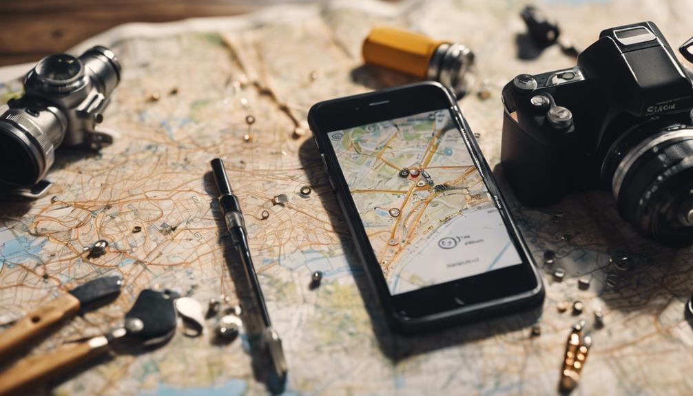
Geographical metadata can be added to image files through various methods, including utilizing EXIF information. Cameras equipped with built-in GPS receivers or external GPS accessories can automatically geotag photos by embedding GPS values into the image's EXIF data. Alternatively, manual geotagging enables users to input location information directly or choose it from a map interface. Some cameras support real-time geotagging functionality when connected to GPS devices, ensuring accurate location data for each image captured. Standoff capture technology is another innovative method that integrates GPS capabilities with cameras to track the position of remote subjects accurately. These methods offer flexibility in adding geographical metadata to images, catering to different user preferences and equipment capabilities. By leveraging EXIF information and geotagging techniques, images can be enriched with valuable location data, enhancing their usefulness and context for various applications.
Verifying Geo-tags in Image Formats

Verification of geo-tags in various image formats is an important step in ensuring the accuracy of location data for images. While JPG images allow for easy verification of geo-tags using tools like Geoimgr, PNG and WebP formats present challenges as they may not display geotags in default viewers. Tools like Geoimgr offer a convenient method to check geotags across different image formats. The standardized storage of geotags in the EXIF metadata of JPG images enhances compatibility and visibility, making it easier to verify the location data associated with photos. Ensuring the significance of geotags is vital for maintaining accurate location information in images, which is beneficial for organizational purposes and SEO strategies. By verifying geo-tags in various image formats, individuals and businesses can guarantee the reliability of location data attached to their photos, enabling better organization and optimization for online visibility.
Enhancing SEO With Geo-Tagged Images
Enhancing online visibility through strategic geo-tagging of images is an essential aspect of modern SEO practices. By embedding geographical information, such as latitude and longitude coordinates, into the EXIF metadata of images captured with a digital camera, businesses can enhance their SEO efforts greatly. Search engines like Google often use this information to provide more relevant and targeted results to users, especially in local searches.
Adding geotags to images can improve local search results and increase online visibility, making it easier for businesses to attract nearby customers. When search engines crawl websites, they may prioritize content with accurate geotags, influencing the ranking and relevance of the site in search results. This targeted approach not only drives more specific traffic to the website but also enhances overall SEO strategies, aligning content with location-based search queries. Optimizing images with geotags is a powerful tool for businesses looking to improve their online presence and attract local clientele.
Frequently Asked Questions
How Do I Geotag an Image?
To geotag an image, one can embed geographical information in the image's EXIF metadata. This process helps organize images based on location. It can be automated using GPS-enabled devices or done manually, with tools like Geoimgr aiding verification.
How Do I Geolocate an Image?
To geolocate an image, one must embed geographical information into its metadata. This typically involves adding GPS coordinates of where the image was taken. Geolocating images aids in organizing and searching for them based on location data.
What Is Image Geolocation?
Image geolocation is the process of adding geographical information, such as GPS coordinates, to image files. It helps identify where a photo was taken, allowing for better organization and searchability. Geolocation is stored in the image's EXIF metadata.
What Is an Example of Geo Tagging?
An example of geo tagging involves attaching geographical information, like GPS coordinates, to digital content, aiding in location-specific organization and searchability. This practice is utilized by businesses to boost local SEO and enhance online visibility.